Forecast check ·
Cloud inversions in Wales: 4 October 2026
Glyder Fawr, Castell y Gwynt and Bannau Brycheiniog
The quick answer
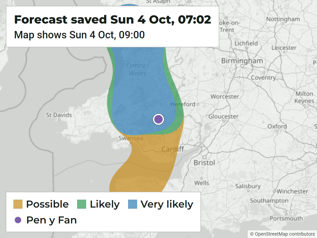
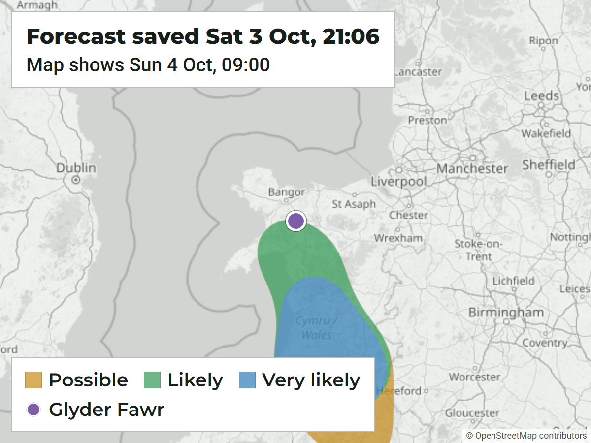
Yes. The first alert on Saturday evening put Glyder Fawr in a Likely area for Sunday morning, about 12 hours ahead, and by Sunday morning Eryri and Bannau Brycheiniog were both Very likely. The one catch: on that first forecast, Glyder Fawr sat right on the edge of the area.
By around 9 a.m., the webcam I was watching had pretty much clouded over and it didn’t look very good. So I was shocked when the photos started coming in.
LikelyOn the edge, map for 09:00
- Forecast area
- Wales
- Eryri and Bannau Brycheiniog
- First alert
- 3 Oct, 21:11 BST
- From the forecast saved at 21:06
- Time of event
- 4 Oct, around sunrise
- Dawn photos from both areas
- Amount of notice
- About 12 hours
- First alert to the 09:00 forecast window
What we forecast
The forecast saved at 21:06 on Saturday put Glyder Fawr in a Likely area for 09:00 on Sunday, and the first alerts went out at 21:11. Northern warnings followed early on Sunday, with several upgrades around 07:07 once the forecast had gone up to Very likely. Those later emails gave much less notice.
The emails highlighted a brief chance around 09:00. My cloudy webcam image is stamped 08:48:31 on 4 October, so I can see why I thought it wasn’t looking very good.
Above the cloud in Eryri
Morgan caught this from near Glyder Fawr and Castell y Gwynt. Beside it is the Sunday morning forecast for the same spot.

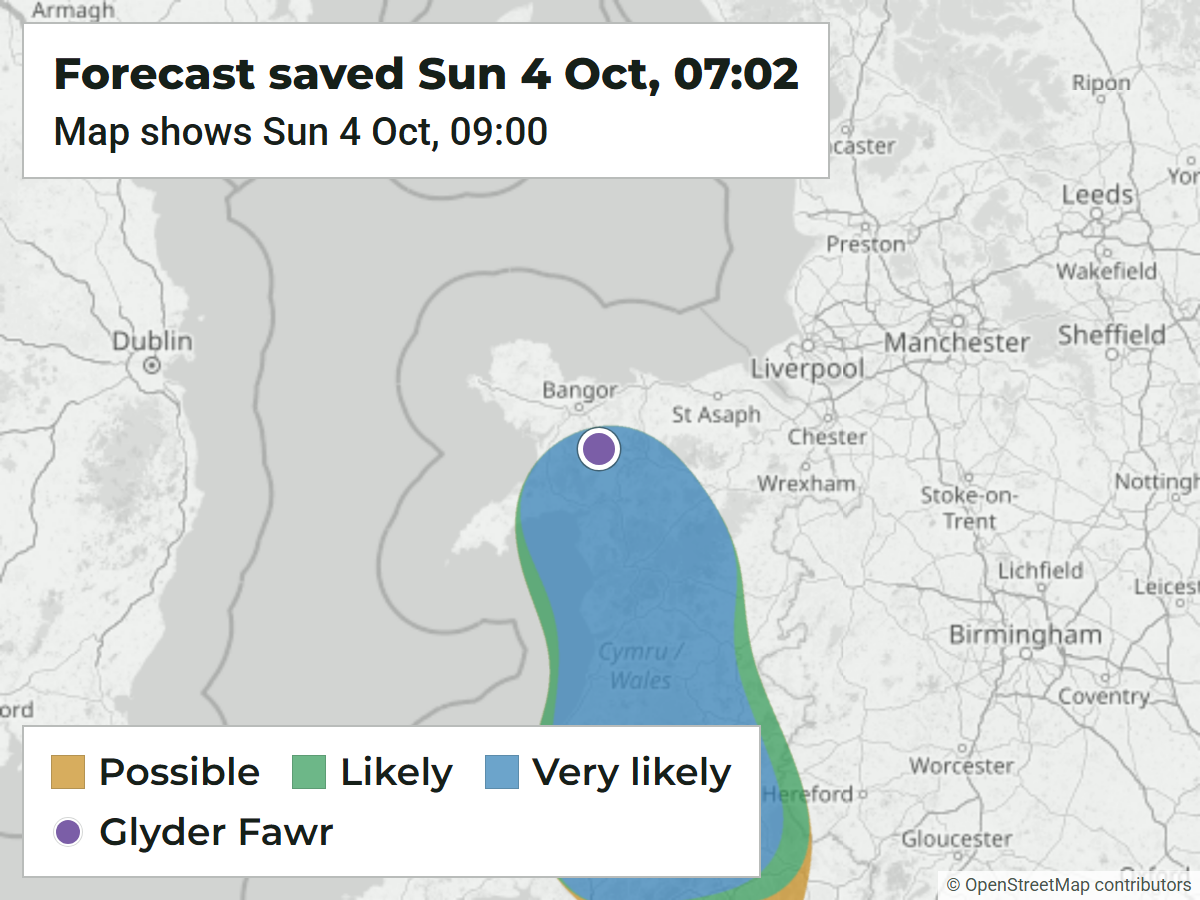
Very likelyMap for 09:00
Further south, with Neil
Neil caught mist curling around the ridges in Bannau Brycheiniog. These two photos show how different it looked further south, and the Sunday morning forecast had this area at Very likely too.
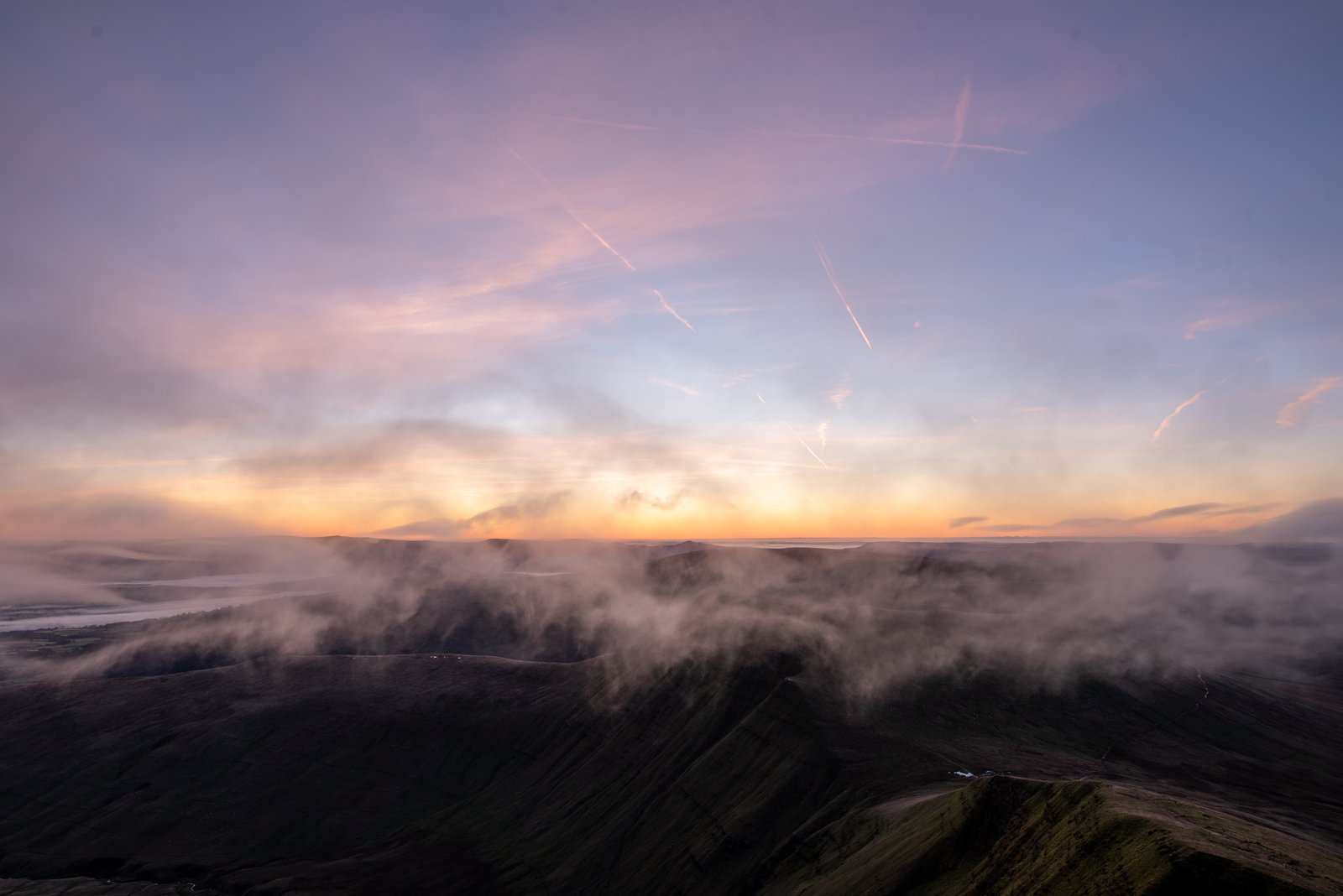

Very likelyMap for 09:00