
Method, not magic
Cloud inversion forecasts. How WeatherDuck works.
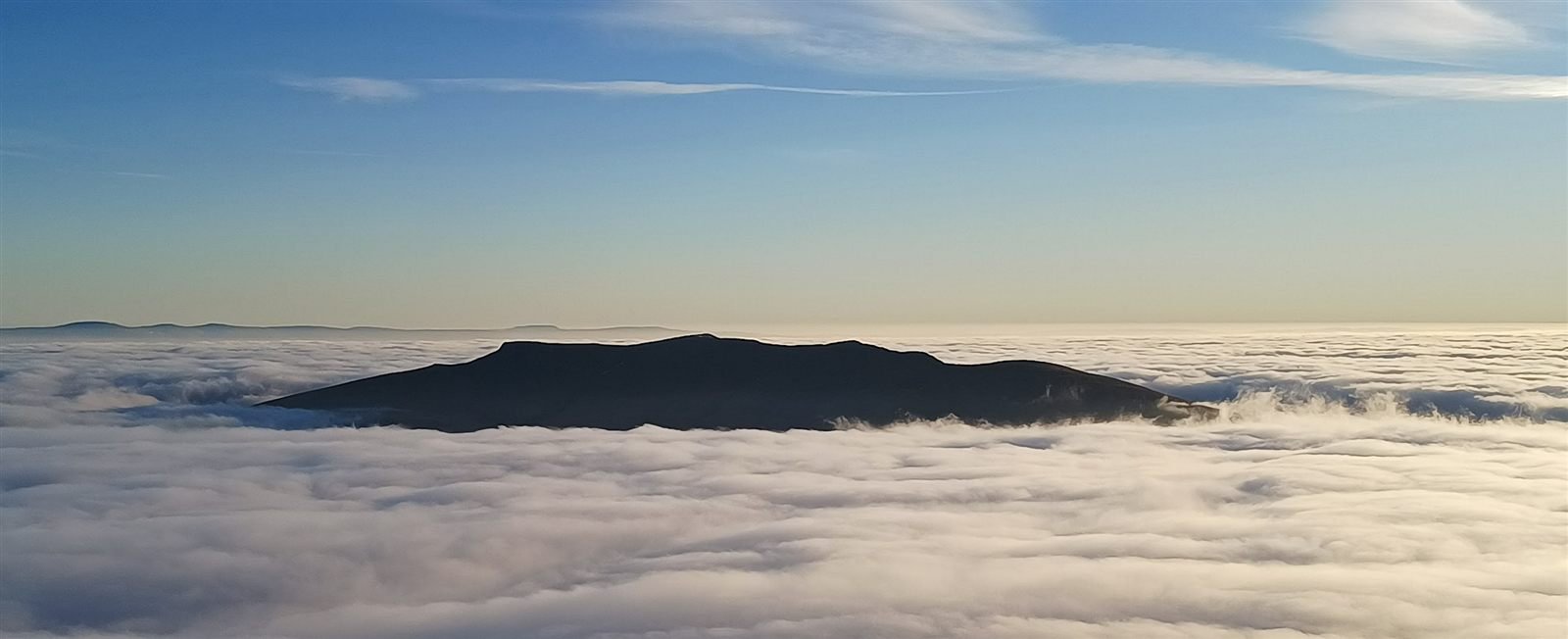
A warm layer of air can trap cold air and cloud in the valleys. Here’s how we look for those conditions and check our forecasts against what happens.
Step one
A network of watch points
WeatherDuck watches a dense network of hand picked valleys, basins and glens across Great Britain, chosen because they are the places where cold air pools and inversions are born.
Every two hours, each watch point captures a fresh atmospheric profile from the Met Office’s high resolution UK model, supplied through Open-Meteo: temperature and humidity at many heights through the lower atmosphere, wind, cloud at low, mid and high levels, and surface pressure. Capturing around the clock means the forecast is built from the newest model run, not this morning’s leftovers.
Step two
Five weather factors, plus duration
Our inversion forecast combines five weather factors and how long favourable conditions are expected to last.
- Is there a warm lid? Warmer air above cooler valley air helps trap the cloud below
- Is the valley air moist enough? Damp air low down can form the sea of cloud
- Is there a clear boundary? A sharp change from moist air below to drier air above helps define the top of the cloud
- Is the air above clear? Drier, clearer air above the cloud makes an open view from a higher viewpoint more likely
- Are winds light enough? Light winds help the layers stay in place; stronger winds can mix them together
We also check how long favourable conditions are expected to last, so you can judge the time available to enjoy the view.
The outlook highlights useful viewing windows, often around dawn. The bands on the map and in alerts describe how favourable the conditions look: Possible, Likely and Very likely.
Step three
From watch points to your place
Search any UK location and WeatherDuck blends the nearest captured profiles, weighted by distance, into a local outlook. Regional signals then look for agreement: one foggy basin is a curiosity, while a dozen neighbouring valleys all scoring high at dawn is a forecast worth setting an alarm for.
Step four
Checked against the real sky
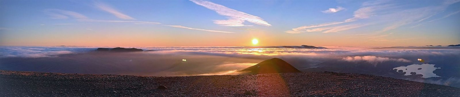
Explore our forecast checks and analysis of past inversion events. Each forecast check compares a forecast saved before the event with photographs and other observations recorded afterwards.
- Saved pre-event forecasts show what was predicted before the conditions were observed
- The historical replay collection analyses past events separately from forecasts recorded in advance
- Forecast checks in Forecast vs reality show selected successful cases, including events forecast more than a day ahead; they do not establish an overall accuracy rate
The honest bit
Where it can go wrong
No inversion forecast is certain, including ours. These are the failure modes we know about and work on.
- Very shallow fog layers can slip under the model’s eye, so some marginal mornings score lower than they deserve
- Confidence grows as the night approaches; a promising signal further ahead can fade as newer model runs arrive
- Tight, steep sided glens can behave differently from the nearest watch points that represent them
- The cloud top height is an estimate; a viewpoint close to the estimated top can be in the murk rather than above it
The practical advice never changes: use the band as a guide to the conditions, recheck the forecast the evening before, and always read a dedicated mountain weather forecast before committing to a route. More on that in our safety information.
Put it to work
See tonight’s signal
The cloud inversion forecast and predictor shows the next 24 hours for any UK location, free and without an account. If you want WeatherDuck to watch a mountain for you, a free account adds one email alert for the place you choose.