
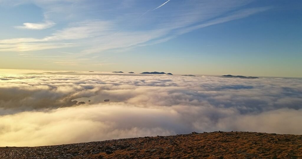
I checked the map before sitting down to write this. Tonight there is not a single Possible on it. Not one Likely, not one Very likely, anywhere in Britain.
The last Likely area that was still on the map when the morning came round was 22 July, over Eryri. Nearly two months is a long wait, but it is normal for late summer, and it is about to change.
Quick answer: cloud inversion season in the UK runs from roughly October to February. It opens with the first proper spell of high pressure, not on a date, and it arrives with about two days of notice. The last two seasons opened in the second half of September and the second week of October. Set your alert now so the first one does not pass you by.
If you signed up over the summer and the alerts have gone silent, this post is for you. Nothing is broken. The weather has moved into the one part of the year where inversions are rare, and the good part is only a few weeks away.
Summer was not dead. July was actually busy.
There is a myth that summer is a write off for cloud inversions. July 2026 disagreed.
For most of the month there was a Likely area somewhere in Britain more mornings than not, and the spell from 13 to 17 July was the best of the whole summer, with Likely and Very likely areas across large parts of the Highlands and beyond.
That spell produced a real one. On the morning of 14 July a cloud sea sat below Gleouraich and Spidean Mialach above Loch Quoich, and when we replayed the forecasts saved the evening before and in the small hours, both showed Likely over the viewing spot. Read the replay.
So the tool was not idle in summer. It has been quiet in September because the atmosphere has.
Then August faded, and September went silent
After one more Likely area over Eryri on 22 July, things thinned out fast. In August a couple of Likely areas turned up a day or two ahead, over mid Wales and Galloway, and both had faded by the time the morning came round. Since then the map has had the odd flicker, and nothing you could have planned a trip around.
Which raises the obvious question. September nights are longer than July nights, so why is September quieter?
Because an inversion needs two things at once, and late summer is stingy with both.
A settled, calm, clear night. High pressure, light winds, no cloud sheet overhead. July got a proper spell of that in the middle of the month and the map lit up. Late August and September in Britain lean Atlantic, unsettled and breezy, so those nights have been rare.
Ground that is cooler than the air above it. Soil, rock, lakes and the sea hold onto heat for weeks after the longest day, and they are at their warmest in late August and early September. Warm ground keeps feeding heat into the air near the surface overnight, so the cold layer struggles to settle in the valley. Even on a calm night the pool often never gets deep enough to fill the glen.
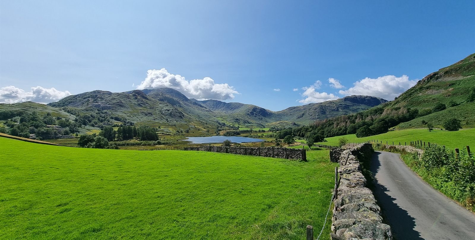
September can still deliver. In 2024 there were cloud seas photographed in Knoydart and Aberdeenshire in the first week of the month, and a proper run of them between 19 and 23 September from the Cairngorms to Rannoch Moor. But those came under a strong, stubborn high. This September has not had one, and the map has said so.
What the last two seasons looked like when they opened
I keep a record of every cloud inversion I can verify from photographs and walk reports, which means I can tell you roughly what “the season starting” has actually looked like.
2024 opened early. A couple of one off mornings in the first week of September, then that run in the third week. Then it went quiet again until 30 October, when a big high settled over Britain and delivered a fortnight of them: the Welsh 3000s, Fairfield, Helvellyn, Blencathra, Great Gable, Crib Goch, the Grey Corries, Beinn a’ Ghlo, An Teallach. The first two weeks of November 2024 are the best spell in my records.
2025 opened later and all at once. Nothing to speak of until 11 October, then five days of it everywhere: Y Garn and the Glyderau, Ben Lawers, Glen Coe, Pen y Fan, Skiddaw. I was on Skiddaw that morning, climbing out of cold valley fog into sunshine, and wrote it up here. Wales had inversions most mornings that week.
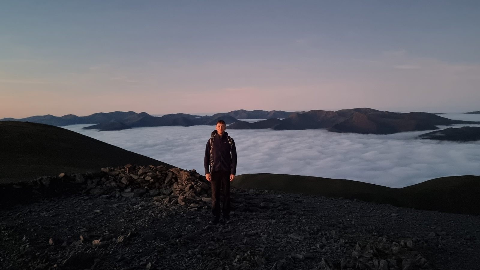
Two seasons is not a climatology, but the shape is consistent. The first inversions can turn up any time from mid September, the season proper opens with the first multi day high, and once it opens you tend to get a run of mornings rather than a single lucky one.
What changes in October
Three things turn over within a few weeks of each other, which is why the season tends to arrive quite suddenly rather than fade in.
The ground finally cools. Once soil temperatures drop the surface stops giving heat back overnight. The cold layer settles and stays where it is.
Nights get long. By mid October a valley gets thirteen or fourteen hours of darkness. That is plenty of time for a deep, stable cold pool to form and hold its shape.
High pressure sets in and stays. Autumn and winter anticyclones deliver the calm, clear, settled nights inversions need, and they often hold for several days rather than a single lucky one. That is what lets you plan a trip rather than scramble.
The result is an inversion that forms reliably, fills the whole valley, and survives well past sunrise. That last part is what actually matters. A July inversion is gone by half past six. An October one can still be there at ten in the morning, properly lit, with time to walk up and enjoy it rather than sprint at it in the dark.
The good months run October through February. The sweet spot is usually mid October to early December, when you get the long nights before the deep winter cloud and wind arrive.
What about this year?
Honestly, the signs for a fast start are mixed. At the time of writing the Met Office long range outlook keeps things changeable and Atlantic driven into the second week of October, with the settled interludes more likely in the south than in the Highlands, and its autumn outlook leans wetter than average.
That does not rule anything out. Inversion seasons open with one spell of high pressure, not with a good month, and a single settled interlude in the south is enough to fill the valleys of Dartmoor, the Brecon Beacons or the Peak District. What it does mean is that the first proper spell may come late, and when it comes it will come with roughly two days of notice. Which is the whole reason to have the alert set before it happens rather than after.
Do the evening signals hold?
A fair question after a summer of alerts is whether a Likely at teatime is still a Likely by the time you get up.
We looked back at every summer evening that had a Likely area on the map. On nine of those eleven evenings, the same places were still Likely in the small hours. The two that faded were both small, patchy areas rather than big ones.
Two things follow from that. First, the evening reading is worth acting on, because it holds far more often than it fails. Second, the reading that matters most is the one from the small hours, so if you are setting an alarm for a big walk, check the forecast once more before you leave the house.
What I would do now
Set your alert before the season, not during it. Good spells arrive with roughly two days of notice and they love a midweek slot. If you are finding out from a photo on Instagram, the inversion burned off hours ago.
Pick your viewpoint in advance. You want a valley that traps cold air and a top that clears the cloud layer, usually somewhere between 400 and 700 metres above the valley floor. Higher is not automatically better. Go too high and you are above the cloud but too far from it for the view to work. If you want a starting point, Keswick sits under some of the most reliable inversion ground in England.
Watch the cloud top, not just the label. A strong reading with a cloud top above your summit means you are standing in the fog rather than looking down on it. That is why the forecast shows both.
Treat anything more than two days out as a maybe. Long range inversion signals are genuinely unreliable, ours included. The reading to act on is the one inside about 48 hours.
The honest bit
I built this because I got tired of driving to the Lakes on a promising looking forecast and finding grey murk all the way to the summit. Summer showed me two things. It showed me the forecast can catch a real event with a night’s notice, and it showed me the map going quiet for weeks on end and staying that way.
Both are correct. When there is nothing to see, the tool says so rather than inventing something to look useful. From October, it should have a lot more to say.
Set up a free cloud inversion alert and pick your mountain now, while there is nothing to miss.